Beach time
Central timePanama City Beach · Central
The air
Forecast low 70° · Mostly Clear
ESE 0 to 5 mphNWS forecast, updated 9:15 PM
The Gulf
Gulf 83°F
NOAA Panama City Beach gauge, updated 10:06 PM
NWS surf zone outlook: Rip current risk Low (rest of today), issued 10:53 AM
Always check the beach warning flags at your nearest beach access before entering the water. Text PCBFLAGS to 888777.
Beaches & Outdoors
Choose your stretch of sand.
Panama City Beach has roughly 27 miles of Gulf shoreline and numerous public beach accesses. Where you start can change the day — Pier Park and the City Pier feel different from Thomas Drive, St. Andrews State Park or the west end.
Parking, dog beach and beach rules: see our beach access & parking guide.
Accessible beaches: beach wheelchairs and mobility mats

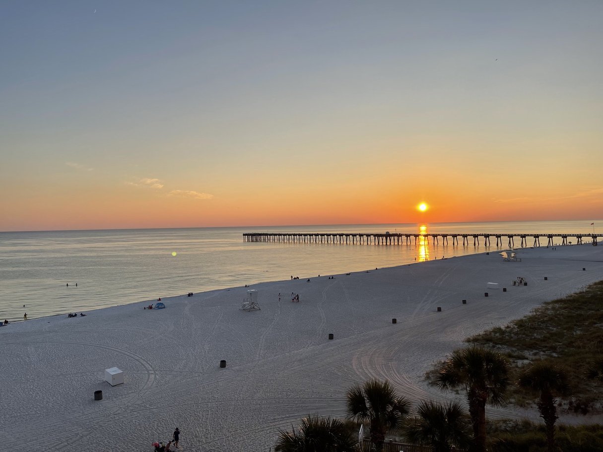
Pier Park & the City Pier
Russell-Fields Pier, the City Pier, sits across from Pier Park and is made for fishing and the view. A designated dog beach is nearby, and this is one of the busiest stretches of PCB. M.B. Miller County Pier is farther east on Front Beach Road.
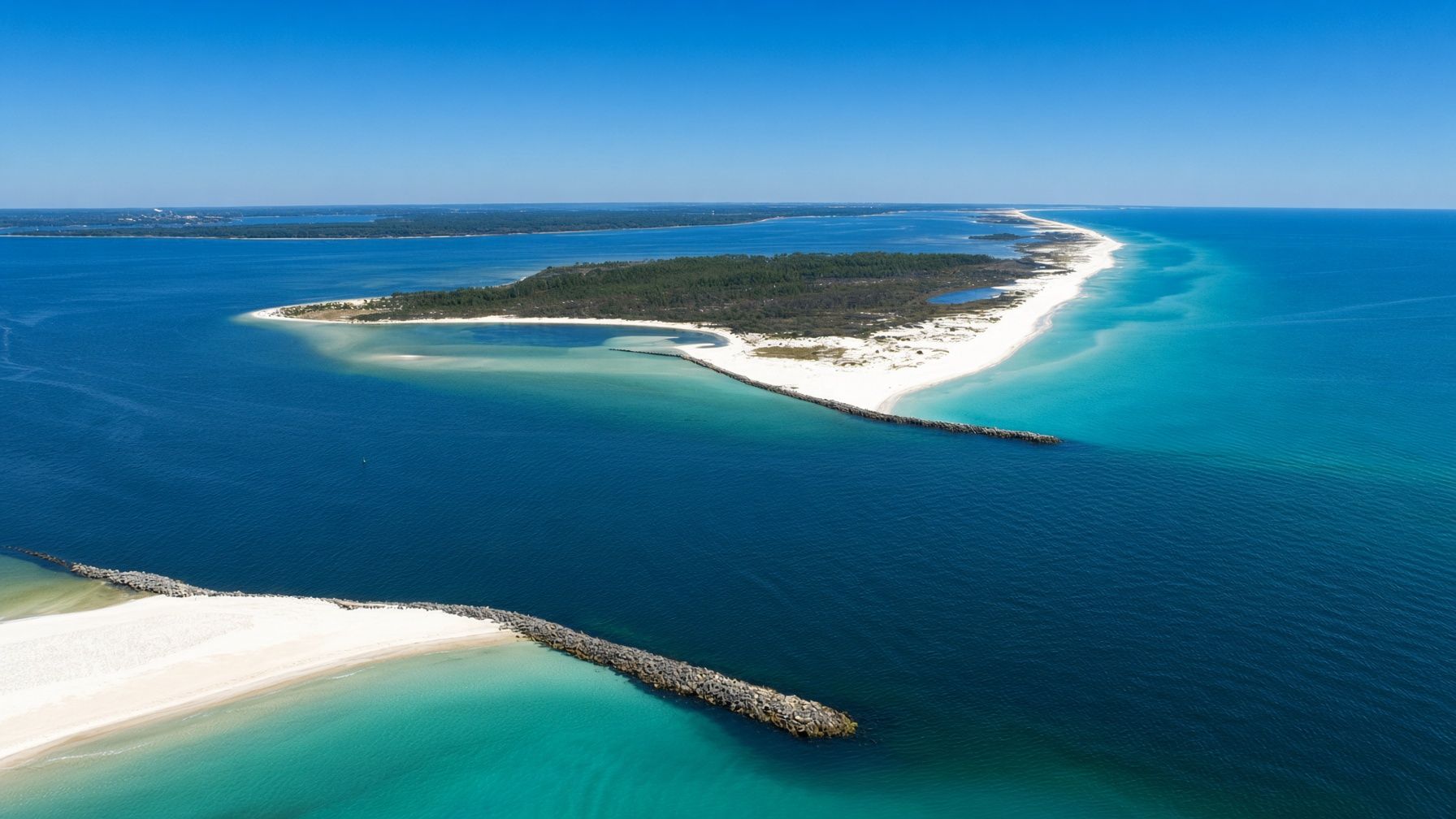
Thomas Drive & the east end
The east end puts you closer to St. Andrews State Park, Grand Lagoon and the Thomas Drive side of Panama City Beach.
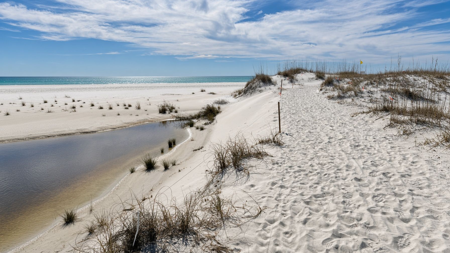
The west end
Much of the west end trades high-rise towers for low-rise residential streets mixed with vacation rentals and condos.
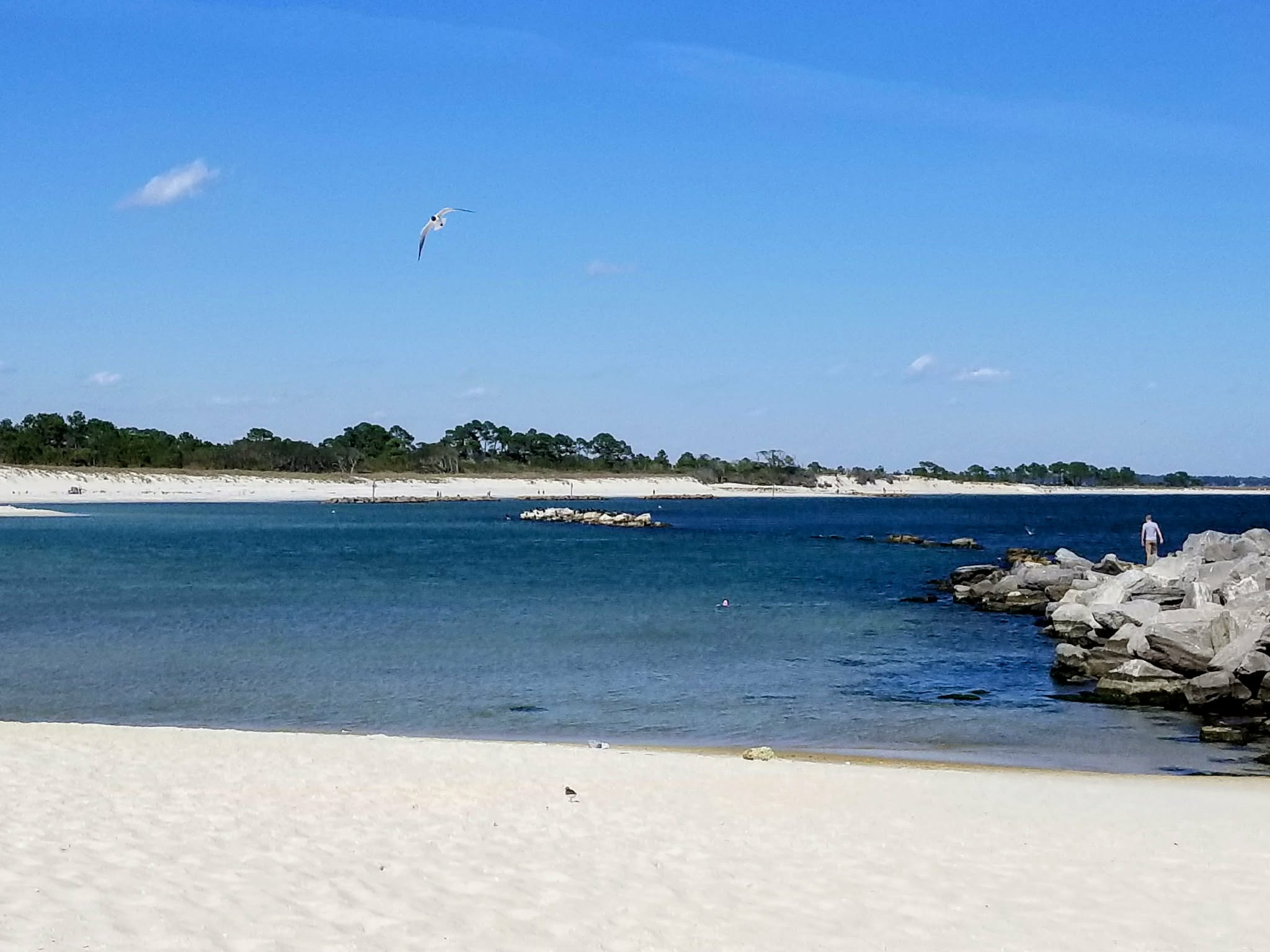
State parks
St. Andrews State Park anchors the east end. Camp Helen State Park sits at the western edge near Lake Powell. Florida State Parks posts current hours, fees and access for both.


Live cameras look out over the County Pier, Front Beach, the west end, Thomas Drive, and Grand Lagoon.